
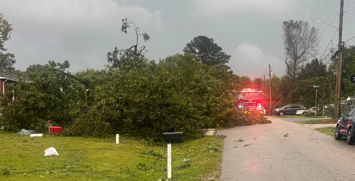
CLAYTON — The storm that damaged homes, toppled trees and knocked out power in Clayton Sunday afternoon has been confirmed as a tornado.
The National Weather Service said Monday its preliminary damage survey determined an EF-0 tornado touched down in Clayton shortly after 1:15 p.m. Sunday, Oct. 11.
The tornado remained on the ground intermittently until approximately 1:22 p.m., traveling along a 3.3-mile path.
Its maximum width was estimated at 75 yards and peak winds were estimated at 85 mph.
No injuries or deaths were reported.
The National Weather Service said the tornado followed a discontinuous path, touching down and lifting several times before eventually dissipating.
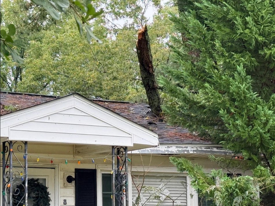
Damage consisted primarily of snapped and uprooted trees and large broken tree limbs.
Several homes and other structures sustained minor shingle and roof damage.

Fences were blown over, several power poles were snapped or knocked down, and patio furniture and signs were damaged.
The confirmation follows reports Sunday from the Town of Clayton that a possible tornado had touched down near Clayton Fire Station No. 2.
Town officials initially reported damage along Iris Street, Tulip Street, Clayton Boulevard and in the Walden community. Trees and power lines were down in several locations, railroad tracks were blocked and traffic signals were knocked out.

An EF-0 is the lowest rating on the Enhanced Fujita Scale, which is used to classify tornadoes based on estimated wind speeds and resulting damage.
EF-0 tornadoes have estimated winds between 65 and 85 mph and are generally associated with lighter tornado damage, including broken tree limbs, uprooted shallow-rooted trees and minor damage to roofs, siding and signs.
Sunday’s Clayton tornado reached an estimated 85 mph, placing it at the upper end of the EF-0 category.
Subscribe to get the latest posts sent to your email.